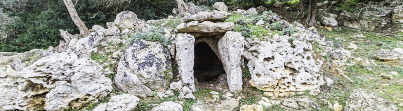
The project aims to create a WebGIS for the visualization and analysis of territorial data of coin finds in the archaeological contexts of a sacral nature of the Phoenician Mediterranean. In particular, it is intended to identify, highlight and clarify the use of Punic coins in necropolises and tophets, but also their presence in indigenous contexts, such as burials, sacred sources, votive and foundational deposits.
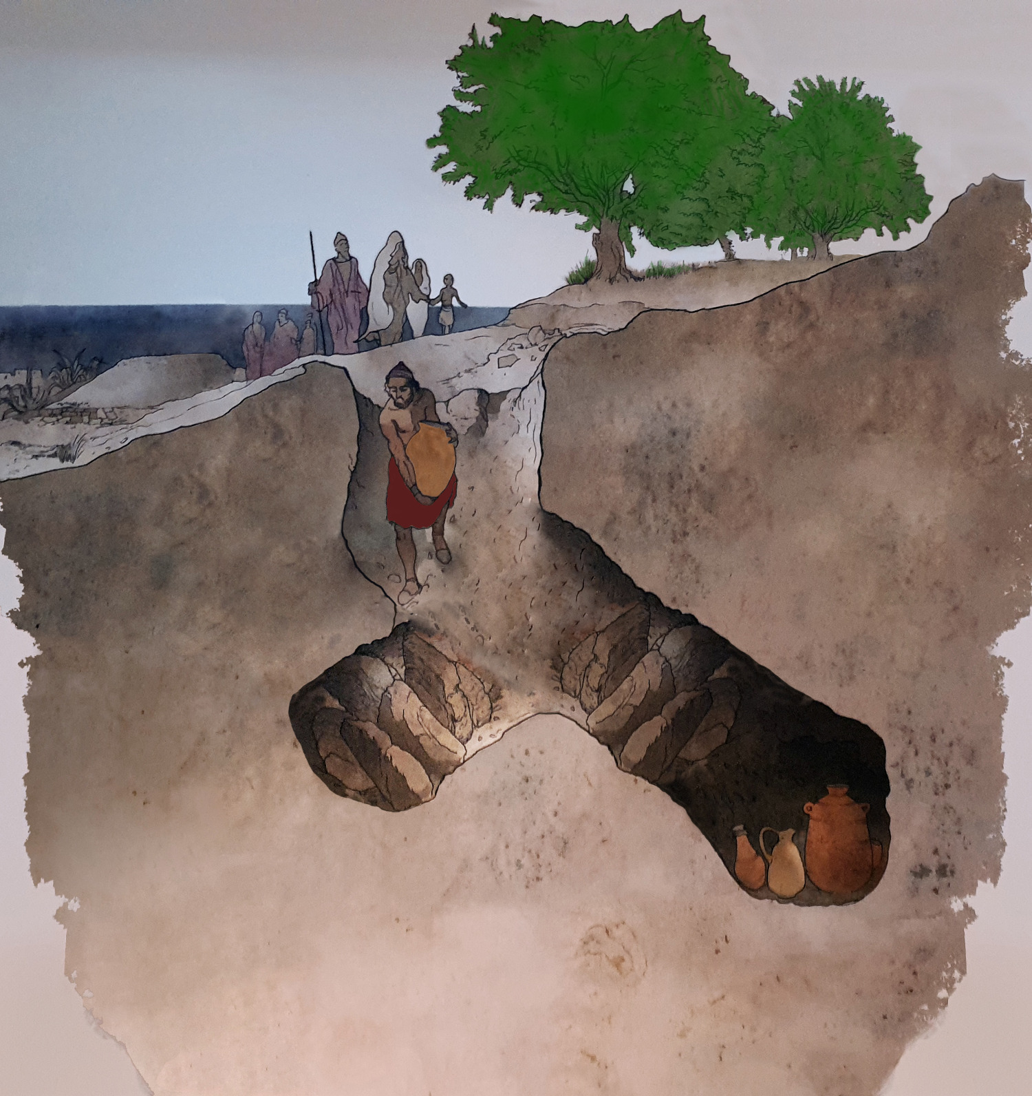
The findings of Punic coins in such contexts are numerous, but studied in an uneven way and in many cases it does not go beyond the simple recording of the data and, much less, the position of the coin in the context of the burial or the sacred place of discovery is indicated.
The project, through the creation of a GIS in which to insert the multiple archaeological indicators, wants to contribute to the study of numismatics and contexts, and clarify the chronological variants related to the sacred use of Punic coins present in Punic and non-Punic areas, included in a chronological span ranging from the IV century BC to the Middle Ages.
The strongly interdisciplinary approach of the study requires highlighting the methodological orientation discussed and followed in the structuring of the research and in the construction of the site.
The cataloging criteria follow the geographical order from East to West with Carthage as the focus of the research. The material studied and cataloged is taken from publications of the nineteenth and twentieth centuries often lacking specific indications on the coins mentioned.
For this reason, when it’s impossible to acquire the image of the find in question, an example drawing of the reference coin type will be inserted.